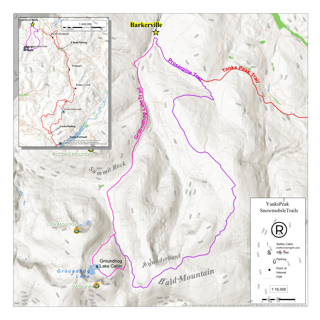
The head of the Yanks trail is dependent on plowing but is roughly 20km from the start of the ‘X’ road. From Wells, you keep driving 5km east (towards Barkerville), turning left on the ‘Bowron Lake road’, and a right shortly after on to the ‘Matthew Valley road (3100rd). You will proceed down the '‘Matthew Valley road(3100rd) to 14.5km, turning right on the ‘X road’. The Yanks Peak trail begins at the start of the ‘X road’ however, parking is dependent on plowing. The Yanks Peak trail is roughly 20km and is groomed to the approach of the alpine area (stop sign).
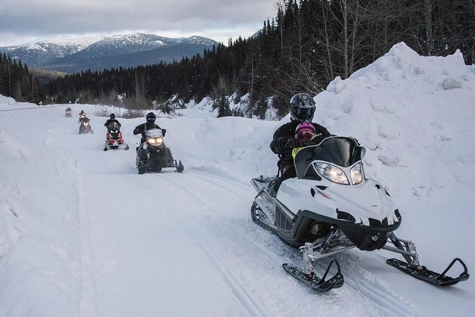
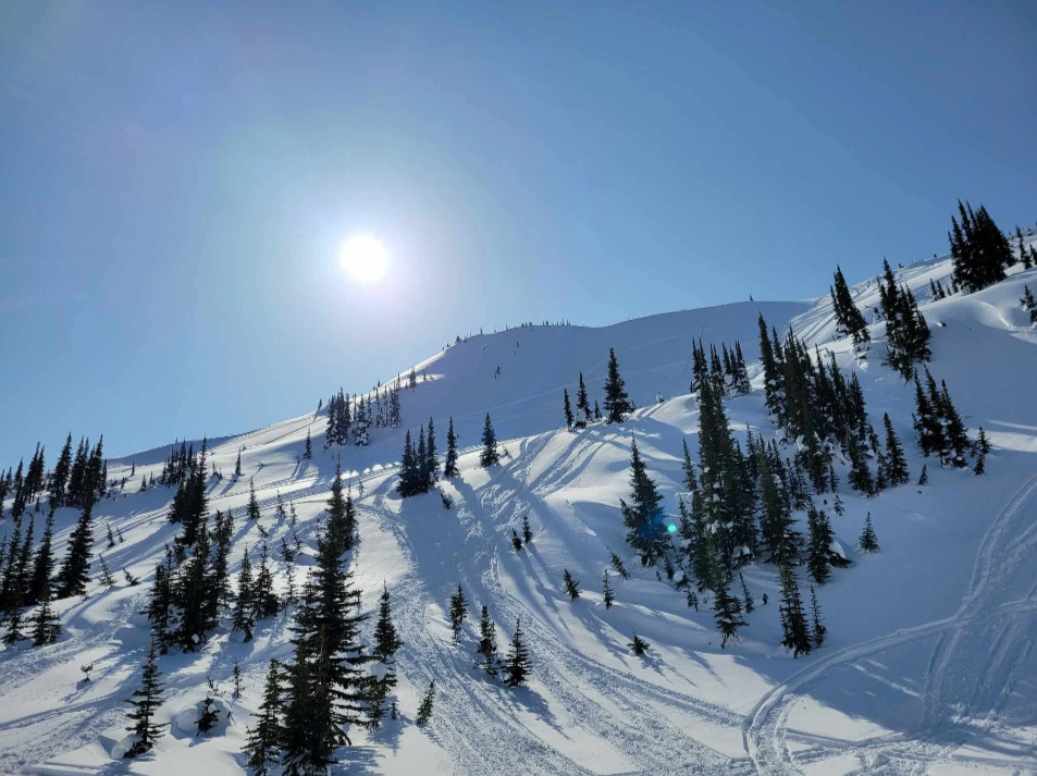
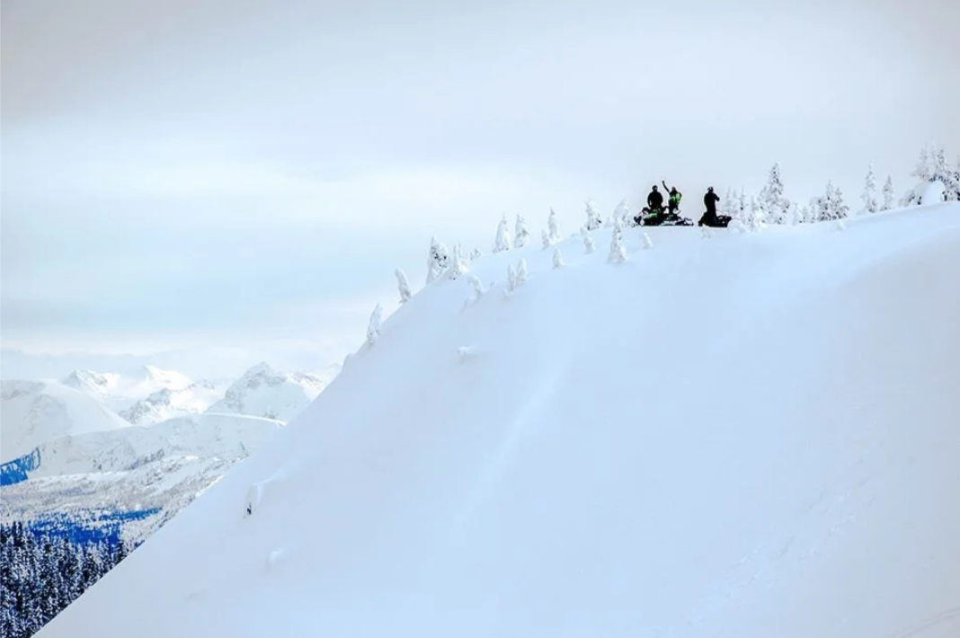
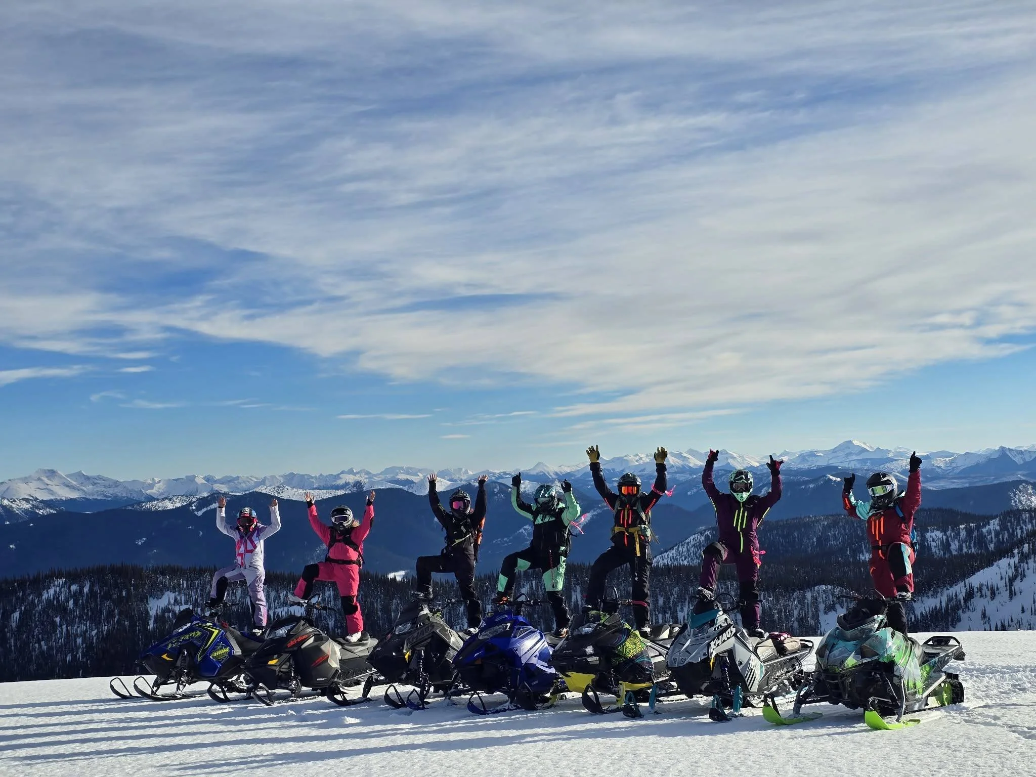
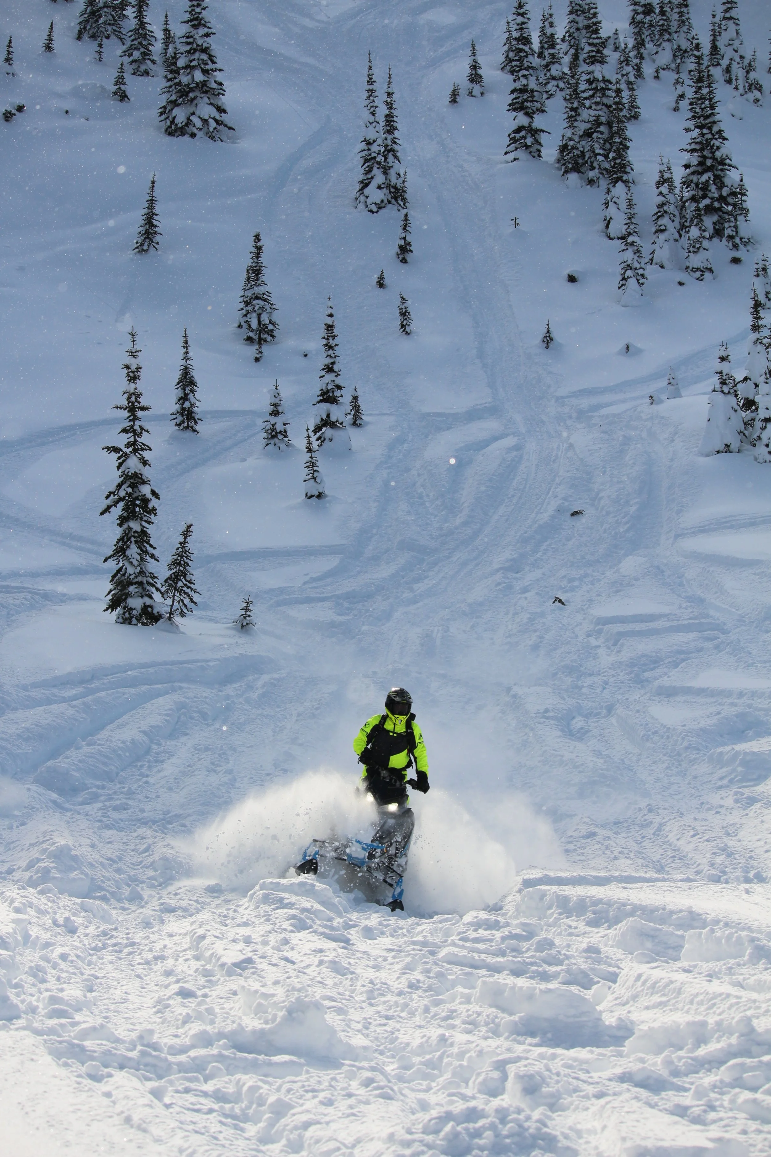
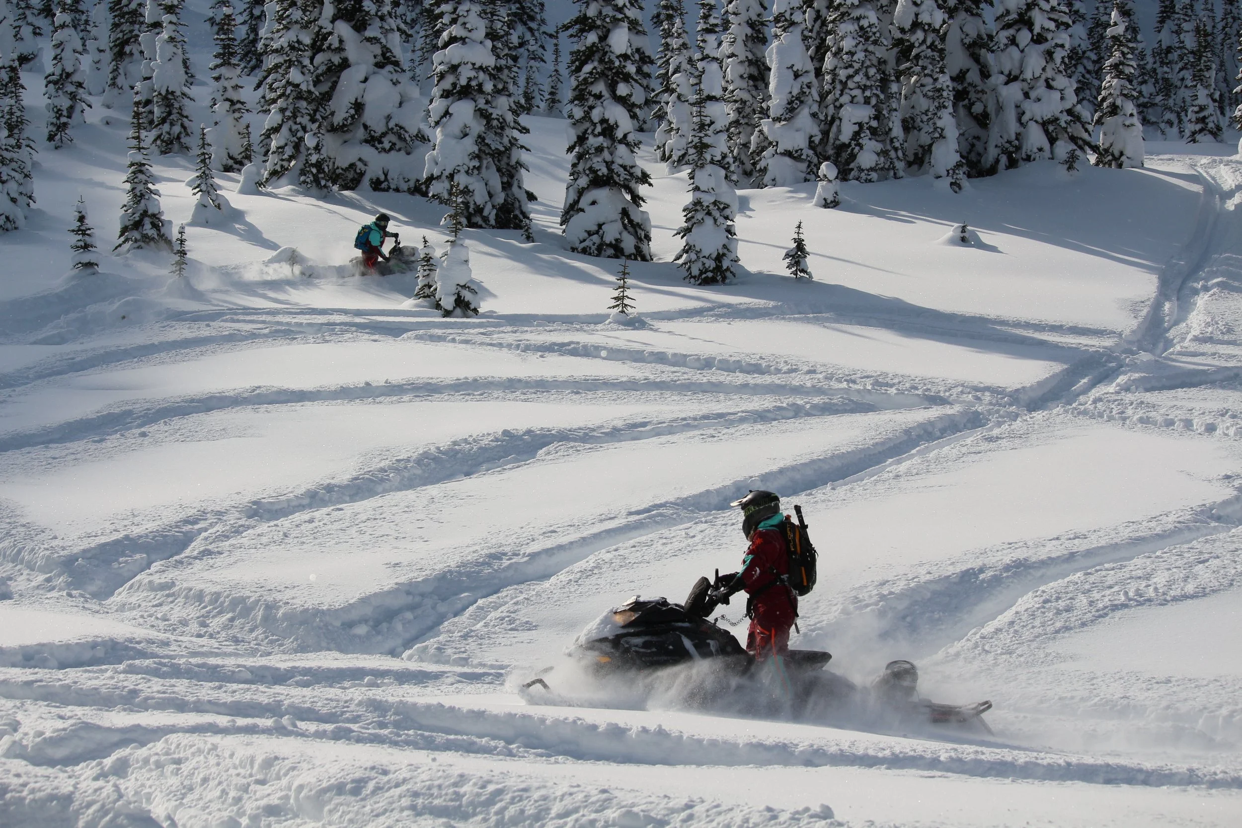
Yanks Peak is the most challenging of all the area’s trails, with an elevation of 1905 meters (6248 feet), The summit boasts miles of untouched powder riding amid spectacular views of the Caribou Mountains and is rated for experienced and expert riders.
The adjacent Rocky Top Mountain is home to the Williams Lake Snowmobile Club’s warm-up cabin and can be accessed via the logging road at the old Cariboo Hudson Mine.


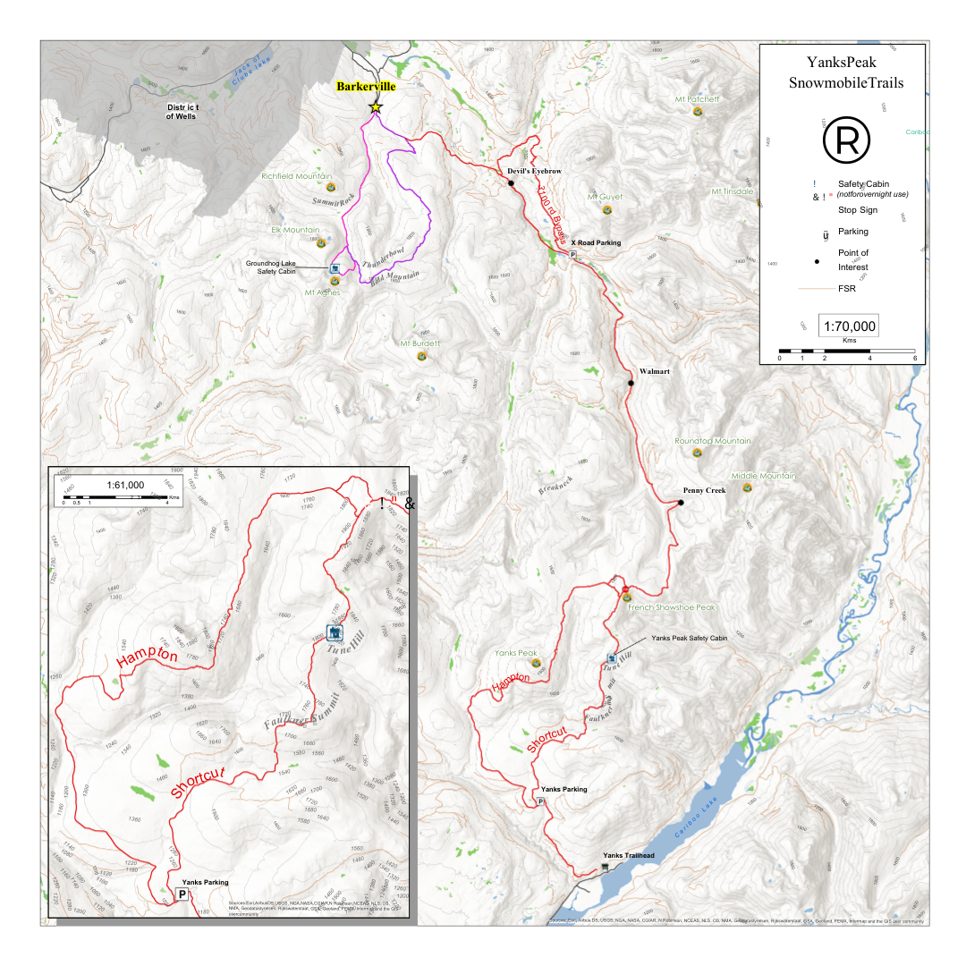


The head of the Yanks trail is dependent on plowing but is roughly 20km from the start of the ‘X’ road. From Wells, you keep driving 5km east (towards Barkerville), turning left on the ‘Bowron Lake road’, and a right shortly after on to the ‘Matthew Valley road (3100rd). You will proceed down the '‘Matthew Valley road(3100rd) to 14.5km, turning right on the ‘X road’. The Yanks Peak trail begins at the start of the ‘X road’ however, parking is dependent on plowing. You will ride the Yanks Peak trail for roughly 16km and turn left off the main trail placing you on the ‘Round Top’ trail. This trail is unmarked and not maintained, it is all backcountry riding.
Yanks Peak is the most challenging of all the area’s trails, with an elevation of 1905 meters (6248 feet), The summit boasts miles of untouched powder riding amid spectacular views of the Caribou Mountains and is rated for experienced and expert riders.
The head of the Yanks trail is dependent on plowing but is roughly 20km from the start of the ‘X’ road. From Wells, you keep driving 5km east (towards Barkerville), turning left on the ‘Bowron Lake road’, and a right shortly after on to the ‘Matthew Valley road (3100rd). You will proceed down the '‘Matthew Valley road(3100rd) to 14.5km, turning right on the ‘X road’. The Yanks Peak trail begins at the start of the ‘X road’ however, parking is dependent on plowing. You will ride the Yanks Peak trail for roughly 7.5km and turn right off the main trail placing you on the ‘Breakneck’ trail. This trail is unmarked and not maintained, it is all backcountry riding.
Yanks Peak is the most challenging of all the area’s trails, with an elevation of 1905 meters (6248 feet), The summit boasts miles of untouched powder riding amid spectacular views of the Caribou Mountains and is rated for experienced and expert riders.


The trail can be accessed through the rear bulkhead area of Barkerville via Stout’s Gulch, or from Wells via Lowhee Drive. This 8km trail system leads to superlative hill climbing areas on the summit of Mount Agnes.
With a 1937 meter (6553 feet) elevation, the trail follows a historic ditch line that carried water to early mining camps.
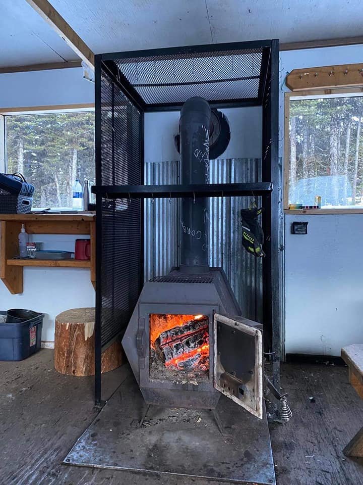
This trail is rated for all skills levels, with a warm-up cabin on Groundhog Lake.


The trail begins directly behind the Barkerville Historic Town offices, via the snowmobile bridge. A highlight on the trip to the summit at 1879 meters (6164 feet) is a side trip through a vintage 1930s mining camp.
Prosperpine adjoins Bald Mountain where there is plenty of powder and spectacular views. An advanced rated trail leads from Bald Mountain to the Groundhog Lake Trail, and is only recommended for one way downhill traffic. The south side dropping off from Bald Mountain is closed for caribou habitat. Please watch for signage and respect closures.

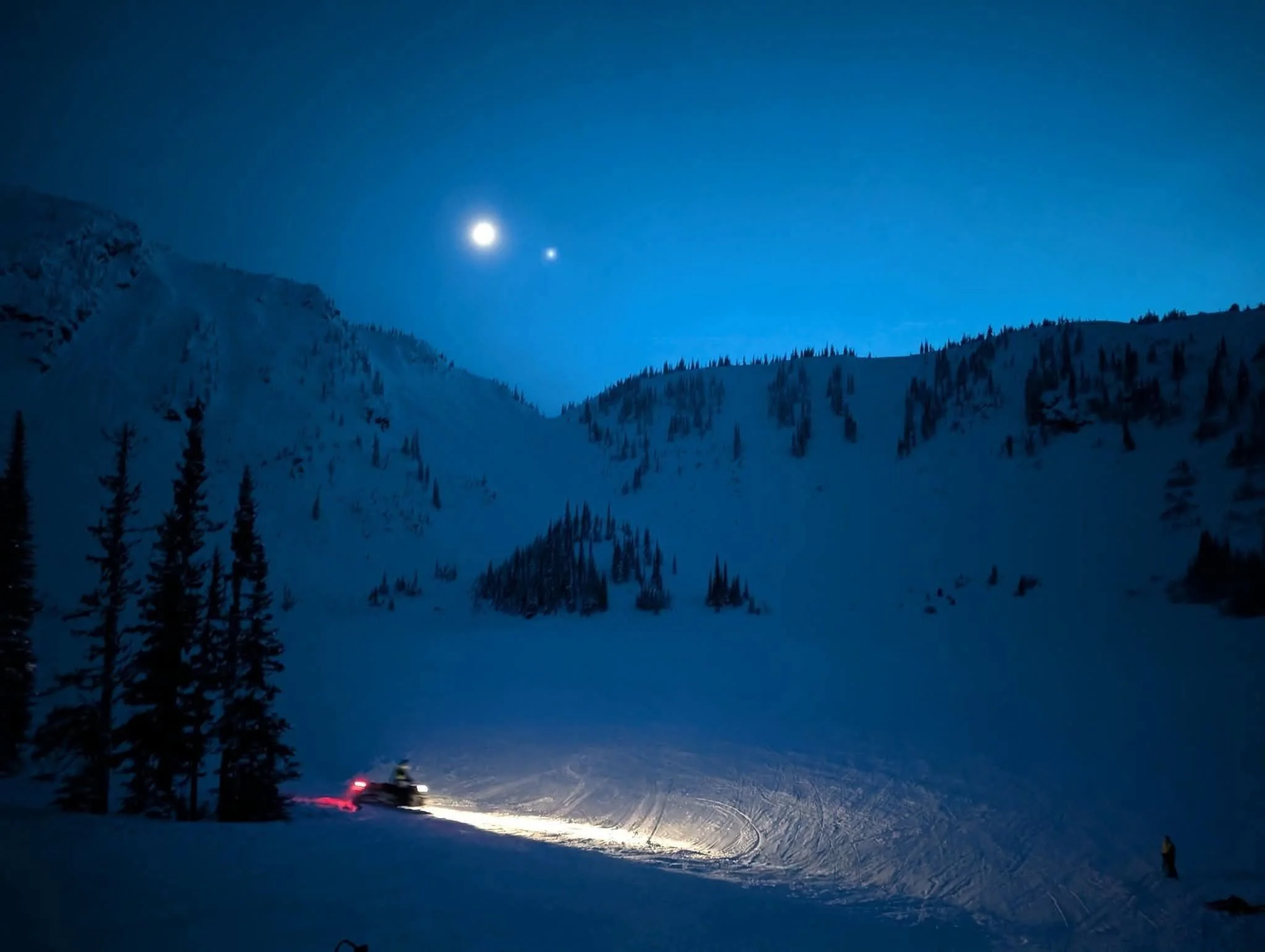
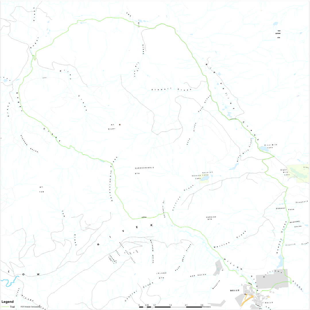
The most family oriented riding in the area, the Sugar Creek Loop begins in the Wells’ meadow. Once groomed, the 35km (22 mile) run is rated for all skill levels. The ride is about 3 hours return.
The Sugar Creek pass area is frequented year-round by moose, and Mount Tom and Wiley junction, elevation migration route, so watch for and respect any wildlife you encounter. Make sure to stay on the trail where indicated.
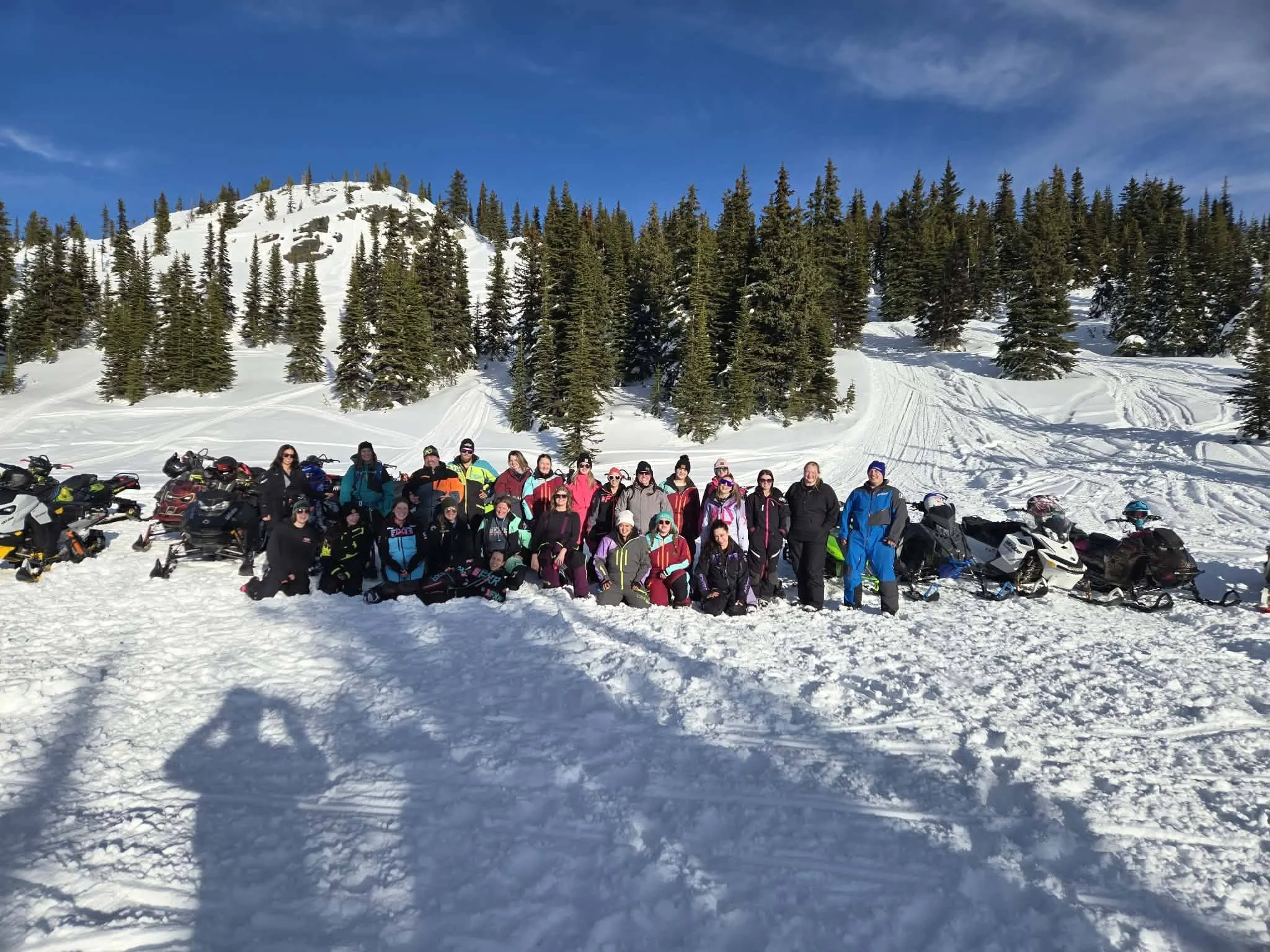
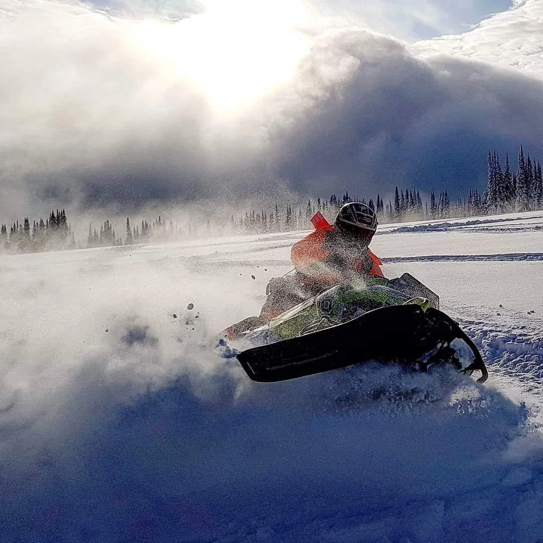
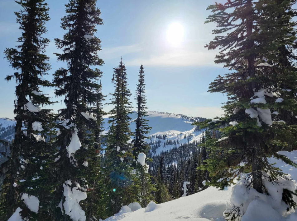
GOLD RUSH TRAIL